Are you ready to embark on an exhilarating outdoor adventure that combines modern technology with the thrill of a treasure hunt? Look no further than geocaching – a real-world, GPS-based treasure hunting game that has captured the imaginations of millions around the globe.
A Few Words About Geocaching
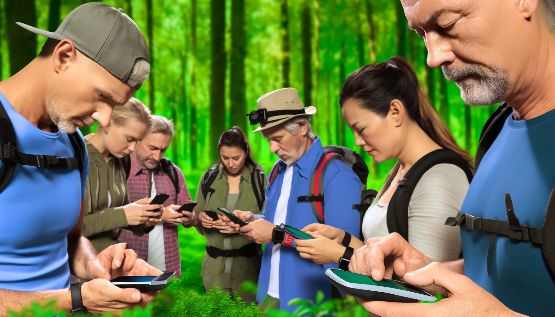
Geocaching uses GPS-enabled devices to navigate to specific coordinates and locate hidden containers. They are known as geocaches. These containers vary in size and appearance, ranging from small, camouflaged micro-caches to larger, more elaborate containers concealed in natural or urban environments.
The History of Geocaching
The origins of geocaching can be traced back to May 2000 when Dave Ulmer, a computer consultant from Oregon, USA, hid the first-ever geocache in the woods near Beavercreek. Ulmer recorded the coordinates of the cache and posted them online. This invited others to participate in the hunt. Within days, the cache was found by fellow enthusiasts, sparking the birth of a new outdoor recreational activity.
Since that, geocaching became a global phenomenon. Millions of geocaches hidden in over 190 countries around the world.

Types of Geocaches
Geocaches come in several different types. Some of the most common types of geocaches include:
Traditional Cache: The classic type of geocache, consisting of a container hidden at specific coordinates. Geocachers must navigate to the location and locate the container, which typically contains a logbook for recording their find.
Multi-Cache: A multi-cache involves multiple stages, with each stage providing clues or coordinates leading to the next stage and eventually to the final container.
Mystery or Puzzle Cache: Puzzle caches require geocachers to solve a puzzle or decipher clues to determine the final coordinates of the cache.
EarthCache: EarthCaches focus on geological features or processes, providing educational opportunities for geocachers to learn about the Earth's natural history and environment.
Event Cache: Event caches are organized gatherings of geocachers, such as picnics, meet-ups, or group outings, where participants can socialize and exchange stories.
The Role of GPS Technology
GPS technology allows participants to navigate to precise coordinates and locate hidden geocaches. Geocaching apps and GPS devices provide users with real-time positioning information, mapping capabilities and tools for recording finds and logging experiences.
The GPS coordinates of geocaches are typically posted on geocaching websites or dedicated apps, along with descriptions, hints, and difficulty ratings to help geocachers locate the hidden containers. Once a geocache is found, participants sign the logbook, exchange trackable items if available, and log their find online to share their experiences with the geocaching community.
Location Apps and Geocaching
Geocaching is a prime example of how technology can enhance traditional activities. With location-based apps and GPS technology geocachers can take their outdoor adventures to the next level. Here is how geocachers can enjoy location tracking apps (https://phonelocator360.com/):
Geocaching Apps
These tools provide access to a vast database of geocaches, navigation features and social networking capabilities. Apps like Geocaching® by Groundspeak Inc., Cachly, and Cachebot offer user-friendly interfaces, intuitive search functions, and robust mapping tools that make it easy to find and log geocaches on the go. These apps also allow users to discover new geocaches, join challenges and connect with other players.
Navigation Apps
While geocaching apps provide the coordinates for geocaches, dedicated navigation apps can complement the geocaching experience by offering additional mapping and routing features. Google Maps, Phone Locator and AllTrails provide detailed maps, turn-by-turn directions and offline mapping capabilities. With them it is easier to navigate to the general area of a geocache, especially in remote or wilderness locations.
Augmented Reality (AR) Apps
Geocaching® AR and Caching AR use AR technology to enhance the navigation process. They offer interactive maps, virtual waypoints and dynamic visuals that guide geocachers to their destination with greater precision and accuracy. With AR apps, geocachers can immerse themselves in the thrill of the hunt like never before, blending the digital and physical worlds in a seamless and immersive manner.
Hiking and Outdoor Apps
For geocachers exploring remote or wilderness areas, hiking and outdoor apps can be invaluable for tracking hikes, recording routes and accessing detailed topographic maps. AllTrails, Gaia GPS and FreeRoam provide essential tools for planning and executing outdoor adventures: trail maps, elevation profiles, real-time tracking features.
So grab your GPS device, download your favorite geocaching apps, and get ready to embark on the ultimate outdoor gaming adventure. The world of geocaching is yours to explore – are you ready to take it to the next level?